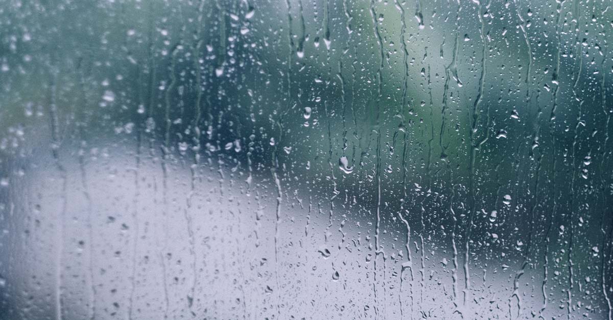
If you were hoping that the rainy weather would continue, here’s some good news.
The rest of June 2022 will continue to be rainy, and the temperatures are going to go down.
More Rain and Lower Temperatures
In the second half of June, the monsoon rain band is going to lie close to the Equator where we are. This means more rainfall over Southeast Asia for the next two weeks.
The pass of the Sumatra squalls is going to bring widespread thundery showers, along with gusty winds during the early mornings of some days.
In addition, short-duration thundery showers are expected in the late mornings and afternoons. Some days, these thundery showers are going to be heavy, due to the convergence of winds and the strong daytime heating of land areas.
Overall, the heavier-than-average rainfall may help to lower temperatures, with the daily temperature expected to range between 24 to 33°C. There could still be warm days where the temperature would exceed 34°C, and nighttime minimum temperatures can be expected to hit 28°C.
First Half of June Less Warm than May 2022
The past two weeks were less warm compared to May 2022, with more days of rain. The daily maximum temperature was between 32 to 34°C, and exceeded 34°C on a few days. The highest daily maximum temperature of 35.1°C was at Paya Lebar on 8 June 2022.
There was also more rain than in May, with most of the thundery showers occuring in the afternoon or at night. The daily total rainfall of 121.2mm recorded at Sentosa on 8 June was the highest for the past two weeks.
Most parts of the island got above-average rainfall, with the highest anomaly being 223% above average at Simei. The lowest was at Bukit Panjang, with 21% below average.
For updates of the daily weather forecast, you can visit the MSS website, or the NEA website. You can also download the myENV app to access the forecast on the go.
Featured Image: Pornanun K / shutterstock.com